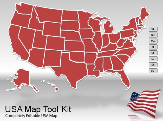
We have recently covered a number of map templates for PowerPoint, including the Widescreen World Map Toolkit, Canada Map Toolkit and the Europe Map Toolkt. Using such map templates can be quite useful for making business and academic presentations, which may require showing various geographical areas and their importance. If you require a similar template to show the map of the United States of America, then you should use the US Map Toolkit.

Create Presentations With Animated Map Of U.S.A
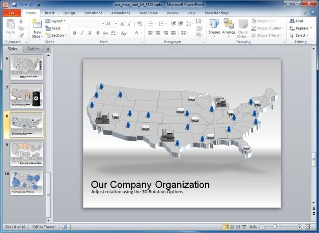
When it comes to maps, one may often require the use of a comprehensive map of the United States. Be it a history lesson or aspirations to expand the market, most businesses that function on a transnational scale are likely to have some vested interests in the U.S., even if it includes rented hosting space for web servers, a colocation or integration with a service like PayPal, Amazon or eBay. This is why the US Map PowerPoint Template can be quite useful to create animated slides containing the map of the U.S.A., including the entire country and/or individual regions.
Customizable And Rotatable 3D Maps
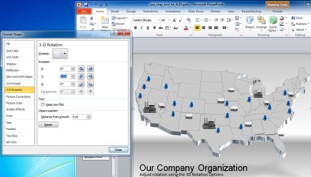
As you can see from the below screenshot, we rotated the map using the 3D Rotation option in PowerPoint (which can be accessed using Format Shape option via right-click menu). As the maps within the sample slides of this template are fully editable, you can change the shape, size and content of these slides to suit your needs.
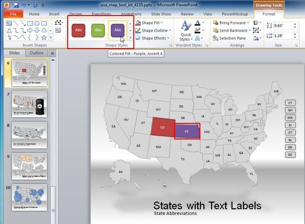
Other than the ability to add images, text and videos, you can also add animations to make the slides more visually appealing. The below image shows how you can edit out the various objects within the template to customize your slides using the built-in options in Microsoft PowerPoint.
The US Map PowerPoint Template is compatible with major versions of PowerPoint for presentations.


